


Walk through my neighborhood
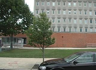
If you thought GoogleMaps was cool because you could see your house on the satellite view, check out A9.com Maps. It has street level pictures of several large cities. That means you can actually take a virtual walk down a particular street.
Not all streets are photographed but the Drexel University area is. Take a walk down the 3300 block of Chestnut street, where I work.
posted by Jean-Claude Bradley at
6:37 AM
![]()
![]()


0 Comments:
Post a Comment
<< Home